I don’t like being several days behind on the blogging because it makes getting going again all the more daunting. But tonight I can finally buck the trend, as we reached North Bay, Ontario while the sun still shone. It’s not even midnight yet! So here follows the long-awaited catch-up:
Saskatchewan
If you think rural Alberta is empty, Saskatchewan says “hold my wheat vodka.” Oh sure, there’s stuff going on, but compared to Alberta everything is just so quiet. They also don’t seem to do as good a job at signing the range and township roads as Alberta does, so don’t leave the numbered roads behind unless you really really know what you’re doing.
We stayed at a Hampton Inn & Suites near the airport in Saskatoon:
By the way, special shout-outs to the breakfast – they actually had a hot breakfast, although the bacon was better left untouched:

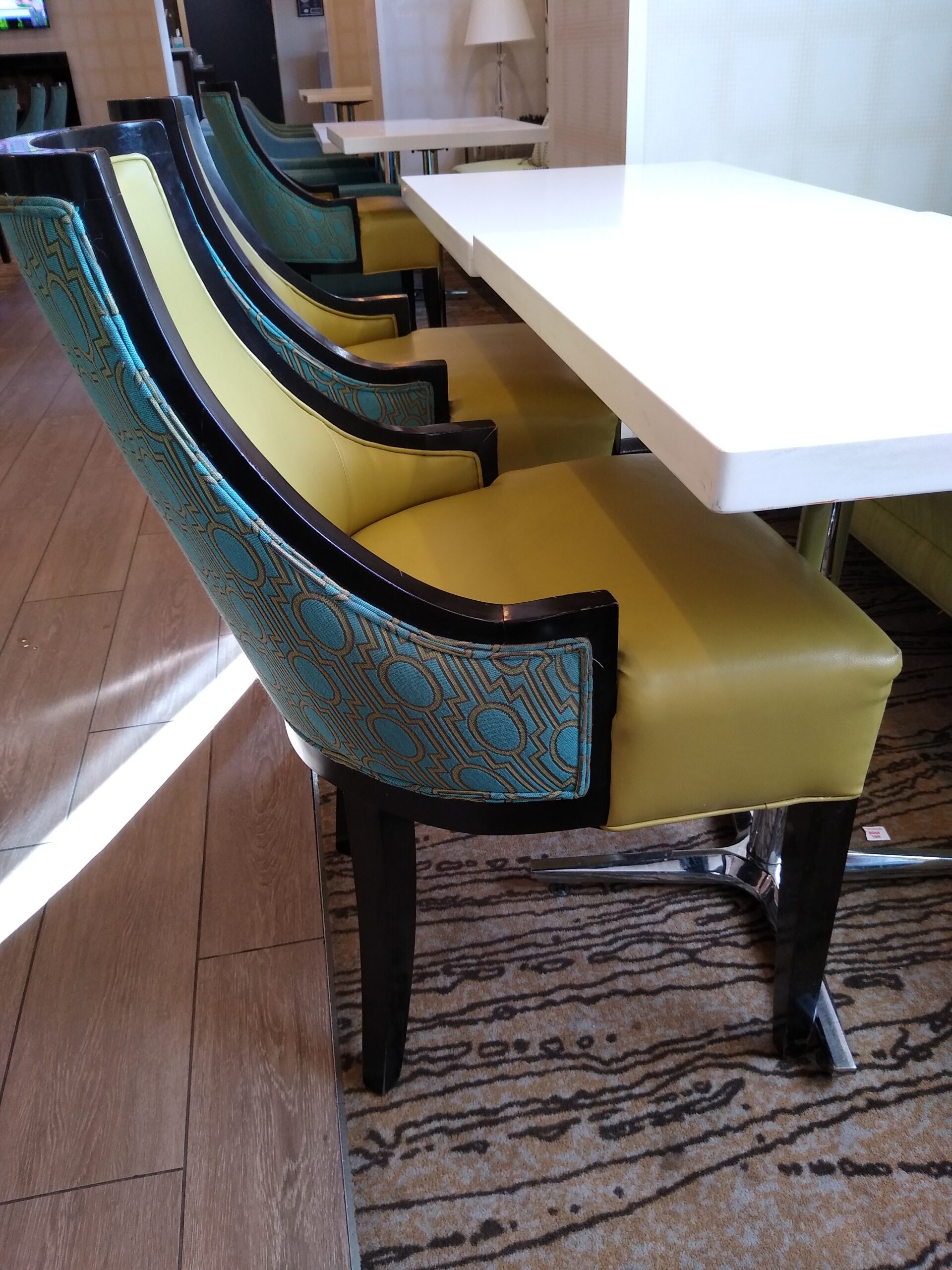
Also these chairs might pose a problem for persons of generous endowment:
Anyway, after the hotel it was time to go downtown to see if I could get an official provincial highway map. We parked in front of the building housing the Tourism Saskatoon office, and everyone there was really nice to us, and they had what I sought:

When we came out, I had a conversation with a Commissionaire – it turned out we couldn’t park an overlength vehicle in the paid on-street parking. I didn’t even know it was paid parking! It just looked like regular old 3-hour parking to me. But if you take a closer look:

Anyway, she was really nice about it and let us go, since we were leaving anyway. We decided to take Highway 11 to Regina, then Highway 1 to Winnipeg, so as to maximize time on twinned highways.
The first stop outside of town was a Petro-Canada, which is my go-to because I can save 3 cents a litre by using a specific card for payment. But this one was different – there were no self-service pumps! Perhaps the (indigenous?) community was running things this way to provide jobs to people. But again, they were all super nice, and I left Saskatoon thinking of all its friendly and beautiful people and I think you could do a lot worse than end up there.
Manitoba

Upon entering Manitoba, we looked at our dining options in Winnipeg that night. Unfortunately, we lost an hour from the time change (CST to CDT), and a lot of places closed at 11pm or even 10pm, but we found a Little Caesars on the west side of town that was open until 11pm, and if I averaged 90 km/h I could just barely make it. Unfortunately, a fuel stop was also required. But by golly we tried!

We arrived with what seemed like plenty of time to spare – 10:42 for a place that closes at 11. Unfortunately, we quickly learned that after 10:30 they don’t actually make anything – you can only take away things that are already made, such as their standard pepperoni and cheese pizzas. Frustratingly, this did not include the stuffed crazy bread that is Danielle’s go-to. So we had driven like hell for hours only to walk away empty-handed because we were twelve minutes too late. Danielle later exclaimed “Brutus was right in what he did!”
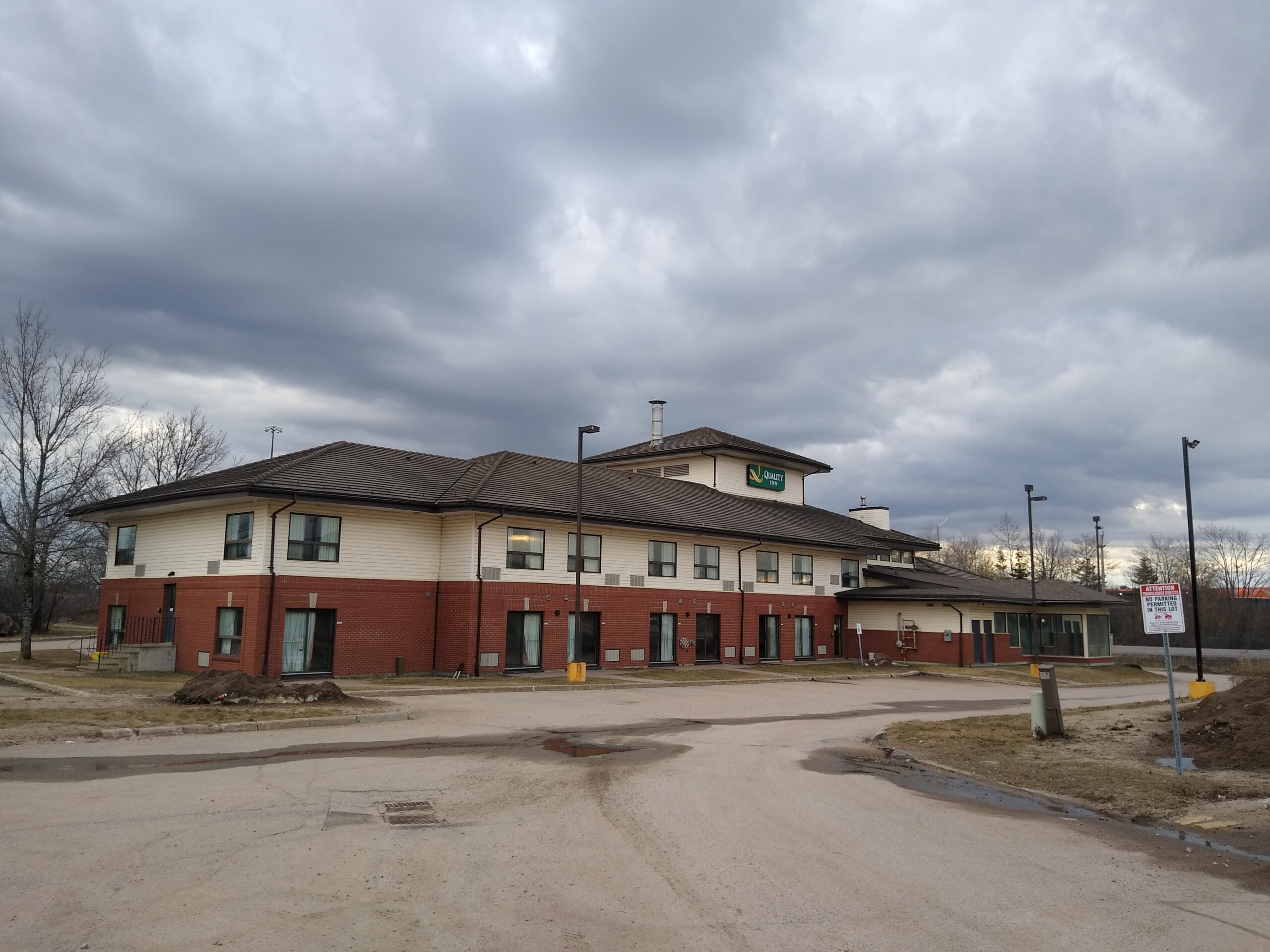
We stayed that night at a Motel 6:
And again I went to a downtown in search of an official highway map. I parked as near as I could to the Tourism Winnipeg office:
It was on the eighth floor of a high-rise.
Unfortunately, the office (and this time it really was strictly an office) only had Winnipeg materials. I phoned a number to speak with someone working for the provincial government, and they told me that ordinarily I could get a map at the provincial tourist bureau at The Forks, but it was closed until Thursday. (This was Tuesday.)
Later, I would send an e-mail to both the Alberta and Manitoba tourism departments, explaining I had transited the applicable province, tried and failed to get an official map, and would greatly appreciate getting one in the mail, and I also offered to send a self-addressed stamped envelope. Here’s what Alberta told me, and for a map / road geek like me this is tragic:
Printed Alberta Road Maps and Guides have been discontinued. As more travellers turn to the Internet for their information, the demand for printed materials have steadily declined and producing printed versions is no longer cost effective.
Travel Alberta Team
They sent me a link to purchase a third-party map, but anyone who knows anything knows that this is not nearly the same thing. The official highway map is how the province represents its roads – third-party maps, which can be quite good, are representations of a province or region’s roads fit into a consistent style used by that map maker. Both are useful, but you need to see both plus actually drive the roads to begin to get a real picture. (Well, in the detail that I want, anyway.)
Meanwhile, Manitoba just put one in the mail for me, no questions asked. Perhaps it will reach Cape Breton before I do!
Having said all that, I haven’t tried getting a map in Ontario yet. The bureau at the Manitoba border might have been open, but my co-pilot wouldn’t let me stop. All the bureaus since have been seasonal. I’m counting on Ottawa – tomorrow’s destination – having some kind of year-round facility.
Ontario
The roads of Northern Ontario, which I might add are in some places literally the only asphalt linking the east and west of our country, have a notorious reputation and for the most part it is well-deserved. To be fair to Ontario, building roads across the Canadian Shield is a little to a lot more difficult than building across the gentle rolling prairie. Twinning even just one path of the Trans-Canada through northern Ontario and east-central British Columbia is going to have to be a serious federal priority if it is ever going to happen. I would argue it’s even a national security issue.
But Ontario is not doing nothing – there are plans to twin between the Manitoba border (although Manitoba itself has not twinned Highway 1 through Whiteshell) and Kenora, and they are extending the twinned section east of Thunder Bay. Speaking of which, that’s where we stayed for the night. It was a dreary but not an excessively dangerous day, with just a little slipperiness on the Kenora bypass.
Given the appearance of heavy wet snow, I had half a mind to stay in Thunder Bay another night, but Ontario’s online 511 service suggested the roads not far east were still bare, just wet. So we set off. Actually the scariest part turned out to be backtracking to a Petro-Canada, heading back west along the twinned eastern bypass. I only have all-season tires, and they’re far from new, and the trailer sometimes having a mind of its own doesn’t help matters either. But once we were making forward progress again, the snow soon changed to rain, and the only problem was pooling water.
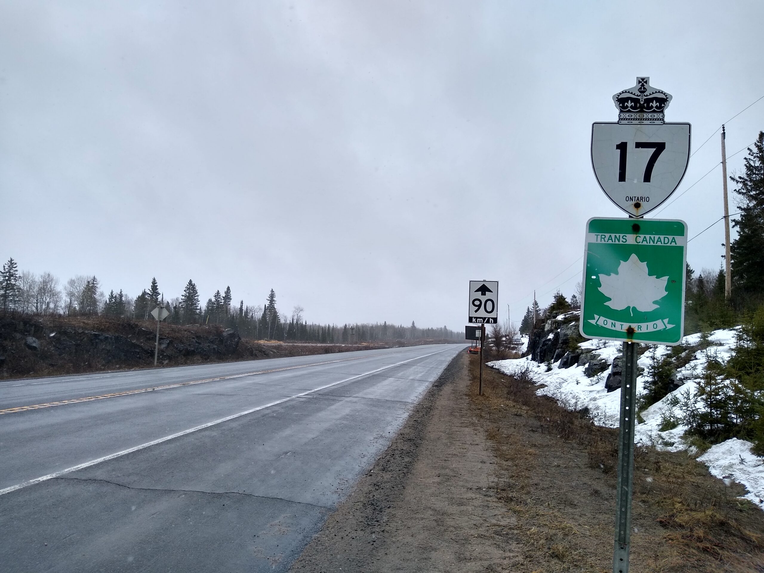
At Nipigon, travelers must make a choice: follow Highway 17 along Lake Superior, or stay (much) further north on Highway 11. Thinking Highway 11 would be remote, scary, and snowy (I’ve driven it once each way, but it was in May and July), I had planned to go along Highway 17. Inasmuch as it was new to me, I’m glad I did, but I hadn’t counted on the endless elevation changes, which aren’t fun when you have a heavy trailer with no brakes. The road continued to be slippery, and some high places were extremely windy, causing white-knuckle episodes of swaying, hydroplaning, or both at once. Luckily none of these coincided with oncoming traffic.
In retrospect, I probably should have gone along Highway 11, which isn’t really all that scarily empty once you hit Hearst. Lake Superior Provincial Park is a mighty park, but not fun to drive through on a wet night in April. We were extremely pleased to see the lights of Sault Ste. Marie when we finally did.
We were even able to try Popeyes:
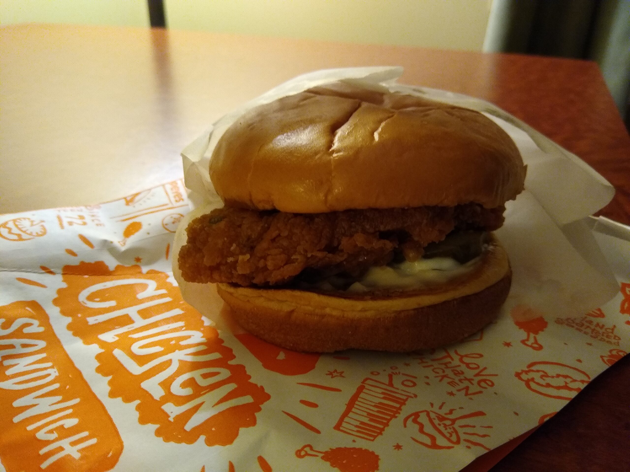
I got the standard / classic chicken sandwich, but if I’d looked more closely I’d have gotten the deluxe since it has lettuce and tomato as well. Nonetheless, this was quite tasty. I didn’t think to order a biscuit, and got mashed potatoes with the Cajun gravy as a side.
In the morning we checked out the canal and the downtown, then headed east along Highway 17. For the most part the road was good, now over flatter and more populated regions than before, though there were still a few white-knuckle moments in the wet. Another thing we observe is that – going 80 km/h as we are – the solid yellow line must just be a suggestion in Ontario, as it is barely heeded by the multitudes that need to pass us, right now if you please.
Near Lake Nipissing, the sun finally came out again:
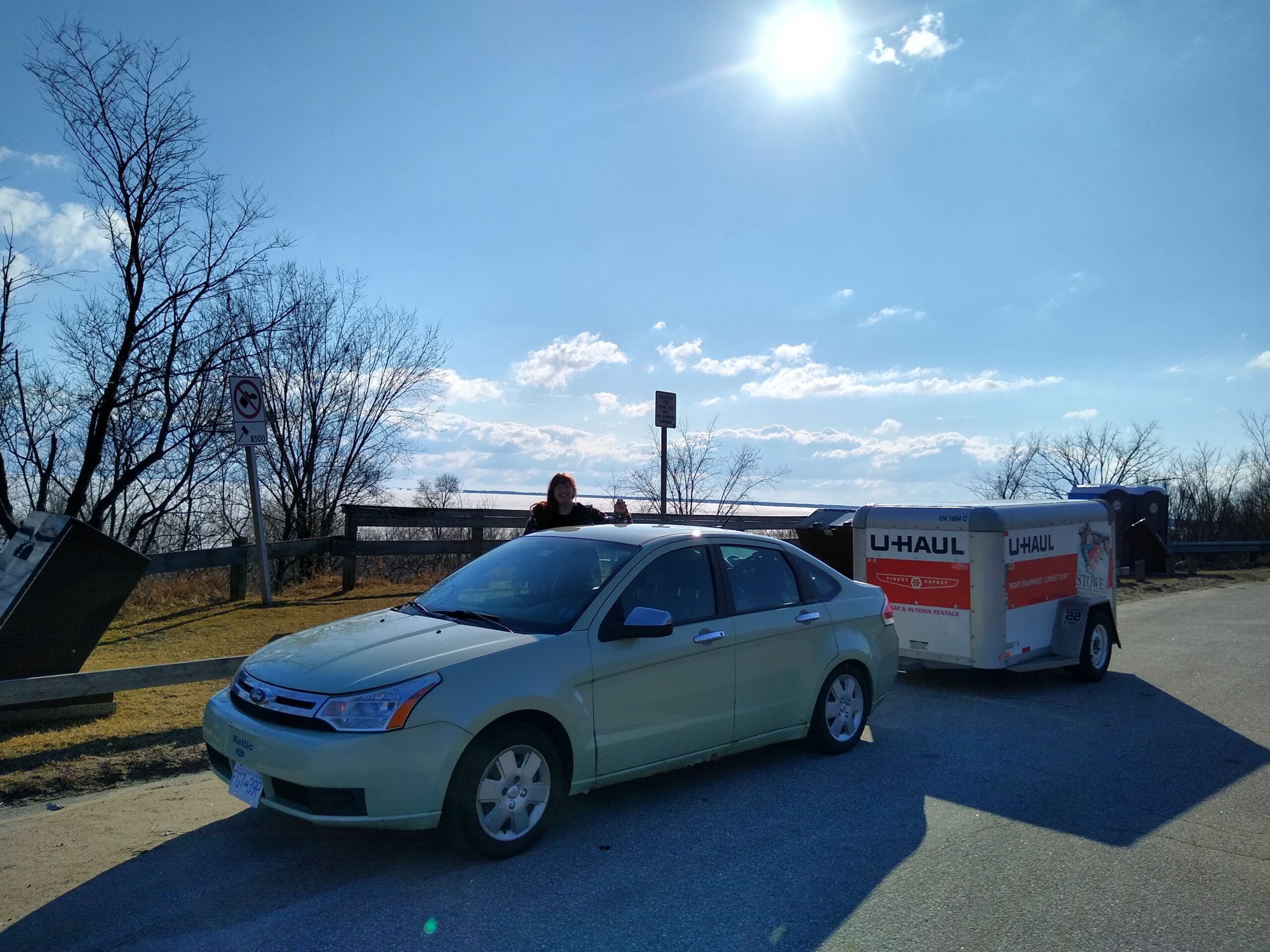
And we got to our hotel in North Bay while it was still daylight!
(I will shoot a little capsule review tomorrow as we leave.)
So this meant we could clean out the car properly, do our laundry (two dryer cycles were required, but with coin-ops you expect them to be stingy on drying time anyway), have dinner (we picked up Little Caesars, as my co-pilot ended their boycott), and even have a little swim before the (very shallow, it must be said) pool closed. And after a little downtime watching YouTube, I finally made this blog post! I felt like if I didn’t do it now, it would never happen. But now it has happened, and I can brush my teeth and go to bed. See you again soon.